Netherthong Road, Meltham
Introduction
The photograph on this page of Netherthong Road, Meltham by Humphrey Bolton as part of the Geograph project.
The Geograph project started in 2005 with the aim of publishing, organising and preserving representative images for every square kilometre of Great Britain, Ireland and the Isle of Man.

There are currently over 7.5m images from over 14,400 individuals and you can help contribute to the project by visiting https://www.geograph.org.uk
Netherthong Road, Meltham
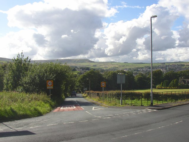
Image: © Humphrey Bolton Taken: 16 Aug 2007
This is the old road, dropping steeply to the bridge over Thick Hollins Dike on its way to Meltham town. The road to the right is not quite as steep, and the lower section is called Coach Road, indicating that it was constructed as a safer route for wheeled vehicles, perhaps in the early 19C.
Images are licensed for reuse under creativecommons.org/licenses/by-sa/2.0
Image Location
Latitude
53.58558
Longitude
-1.839843