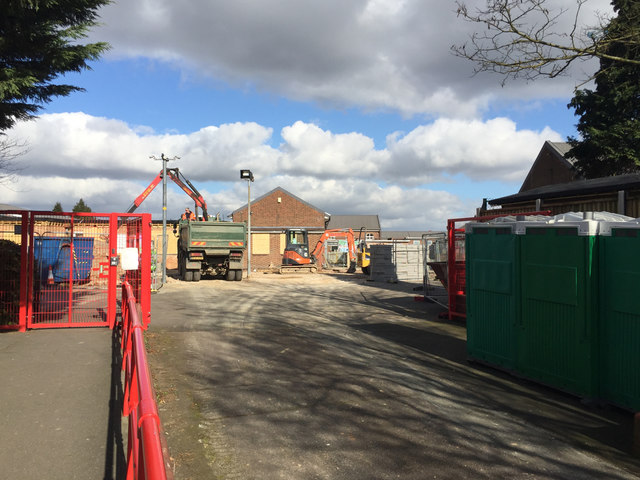
Demolition at Maidenhall Primary School off Dunstable Road, west Luton
Introduction
The photograph on this page of Demolition at Maidenhall Primary School off Dunstable Road, west Luton by Robin Stott as part of the Geograph project.
The Geograph project started in 2005 with the aim of publishing, organising and preserving representative images for every square kilometre of Great Britain, Ireland and the Isle of Man.
There are currently over 7.5m images from over 14,400 individuals and you can help contribute to the project by visiting https://www.geograph.org.uk

Image: © Robin Stott Taken: 24 Feb 2017
Works for the Projects Design and Delivery Team of Luton Borough Council were being carried out by Gray and Sons Builders Ltd. I was a pupil here briefly in the early 1950s. The 'Maiden' element of the name may recall Maiden Common Farm, shown nearby on late 19th-century maps.

