Meltham Baptist Chapel
Introduction
The photograph on this page of Meltham Baptist Chapel by Humphrey Bolton as part of the Geograph project.
The Geograph project started in 2005 with the aim of publishing, organising and preserving representative images for every square kilometre of Great Britain, Ireland and the Isle of Man.

There are currently over 7.5m images from over 14,400 individuals and you can help contribute to the project by visiting https://www.geograph.org.uk
Meltham Baptist Chapel
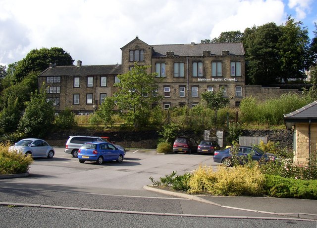
Image: © Humphrey Bolton Taken: 16 Aug 2007
This looks to have been built with two-storey houses in the basement, an arrangement also to be found at the Baptist chapel in Stainland. The car park in the foreground is for the medical centre.
Images are licensed for reuse under creativecommons.org/licenses/by-sa/2.0
Image Location


Leaflet Map data © OpenStreetMap
Latitude
53.593684
Longitude
-1.851899