Down Station Road, Llangynwyd
Introduction
The photograph on this page of Down Station Road, Llangynwyd by Jaggery as part of the Geograph project.
The Geograph project started in 2005 with the aim of publishing, organising and preserving representative images for every square kilometre of Great Britain, Ireland and the Isle of Man.

There are currently over 7.5m images from over 14,400 individuals and you can help contribute to the project by visiting https://www.geograph.org.uk
Down Station Road, Llangynwyd
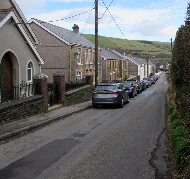
Image: © Jaggery Taken: 24 Feb 2017
This was formerly the way to Llangynwyd railway station which closed in 1970. Ainon Welsh Baptist Chapel http://www.geograph.org.uk/photo/5292655 is on the left.
Images are licensed for reuse under creativecommons.org/licenses/by-sa/2.0
Image Location
Latitude
51.588394
Longitude
-3.632642