Path from Tesco's towards Tilekiln
Introduction
The photograph on this page of Path from Tesco's towards Tilekiln by Patrick Roper as part of the Geograph project.
The Geograph project started in 2005 with the aim of publishing, organising and preserving representative images for every square kilometre of Great Britain, Ireland and the Isle of Man.

There are currently over 7.5m images from over 14,400 individuals and you can help contribute to the project by visiting https://www.geograph.org.uk
Path from Tesco's towards Tilekiln
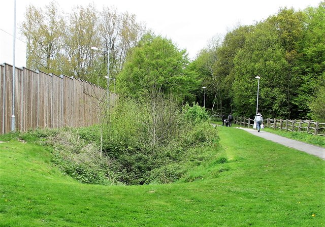
Image: © Patrick Roper Taken: 5 May 2012
Path heading north by the eastern side of the Tesco superstore in Hollington. Note the curious depression in the mown grass full of natural vegetation. The wood on the right is the northern extension of Church Wood and is known as 'Tesco Wood'.
Images are licensed for reuse under creativecommons.org/licenses/by-sa/2.0
Image Location
Latitude
50.87764
Longitude
0.537599