Heol Cadrawd, Llangynwyd
Introduction
The photograph on this page of Heol Cadrawd, Llangynwyd by Jaggery as part of the Geograph project.
The Geograph project started in 2005 with the aim of publishing, organising and preserving representative images for every square kilometre of Great Britain, Ireland and the Isle of Man.

There are currently over 7.5m images from over 14,400 individuals and you can help contribute to the project by visiting https://www.geograph.org.uk
Heol Cadrawd, Llangynwyd
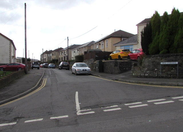
Image: © Jaggery Taken: 24 Feb 2017
On the south side of Llan Road, opposite Shiloh Apostolic Church. http://www.geograph.org.uk/photo/5292523
Images are licensed for reuse under creativecommons.org/licenses/by-sa/2.0
Image Location


Leaflet Map data © OpenStreetMap
Latitude
51.587635
Longitude
-3.635502