Lane at Clare Glen near Tanderagee
Introduction
The photograph on this page of Lane at Clare Glen near Tanderagee by Albert Bridge as part of the Geograph project.
The Geograph project started in 2005 with the aim of publishing, organising and preserving representative images for every square kilometre of Great Britain, Ireland and the Isle of Man.

There are currently over 7.5m images from over 14,400 individuals and you can help contribute to the project by visiting https://www.geograph.org.uk
Lane at Clare Glen near Tanderagee
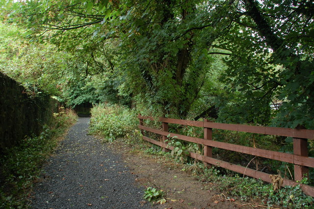
Image: © Albert Bridge Taken: 18 Aug 2007
This lane runs parallel to the Cusher Image beside Clare Glen Image It is not shown on the OS map.
Images are licensed for reuse under creativecommons.org/licenses/by-sa/2.0
Image Location
Latitude
54.338925
Longitude
-6.424832