Butler's Shaw to the east of Haywards Heath
Introduction
The photograph on this page of Butler's Shaw to the east of Haywards Heath by Patrick Roper as part of the Geograph project.
The Geograph project started in 2005 with the aim of publishing, organising and preserving representative images for every square kilometre of Great Britain, Ireland and the Isle of Man.

There are currently over 7.5m images from over 14,400 individuals and you can help contribute to the project by visiting https://www.geograph.org.uk
Butler's Shaw to the east of Haywards Heath
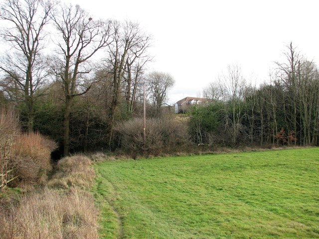
Image: © Patrick Roper Taken: 9 Jan 2012
A small area of ancient woodland on the western outskirts of Haywards Heath seen from the fields to the west of the shaw.
Images are licensed for reuse under creativecommons.org/licenses/by-sa/2.0
Image Location
Latitude
51.001215
Longitude
-0.118158