Knowles on the Dowles - Wyre Forest, Worcestershire
Introduction
The photograph on this page of Knowles on the Dowles - Wyre Forest, Worcestershire by Martin Richard Phelan as part of the Geograph project.
The Geograph project started in 2005 with the aim of publishing, organising and preserving representative images for every square kilometre of Great Britain, Ireland and the Isle of Man.

There are currently over 7.5m images from over 14,400 individuals and you can help contribute to the project by visiting https://www.geograph.org.uk
Knowles on the Dowles - Wyre Forest, Worcestershire
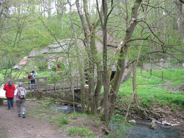
Image: © Martin Richard Phelan Taken: 18 May 2013
Knowles Mill has stood here beside the Dowles Brook since the 18th century and the building was Grade II listed on 27th May 1986. It is in the care of the National Trust and is open daily from dawn to dusk - admission, at the time of submitting this photo, is free but a suggested donation of £1 is asked to contribute towards the running costs. Time taken 12.26 pm BST (British Summer Time).
Images are licensed for reuse under creativecommons.org/licenses/by-sa/2.0
Image Location


Leaflet Map data © OpenStreetMap
Latitude
52.386997
Longitude
-2.350681