Dead Wood by the Brook
Introduction
The photograph on this page of Dead Wood by the Brook by Des Blenkinsopp as part of the Geograph project.
The Geograph project started in 2005 with the aim of publishing, organising and preserving representative images for every square kilometre of Great Britain, Ireland and the Isle of Man.

There are currently over 7.5m images from over 14,400 individuals and you can help contribute to the project by visiting https://www.geograph.org.uk
Dead Wood by the Brook
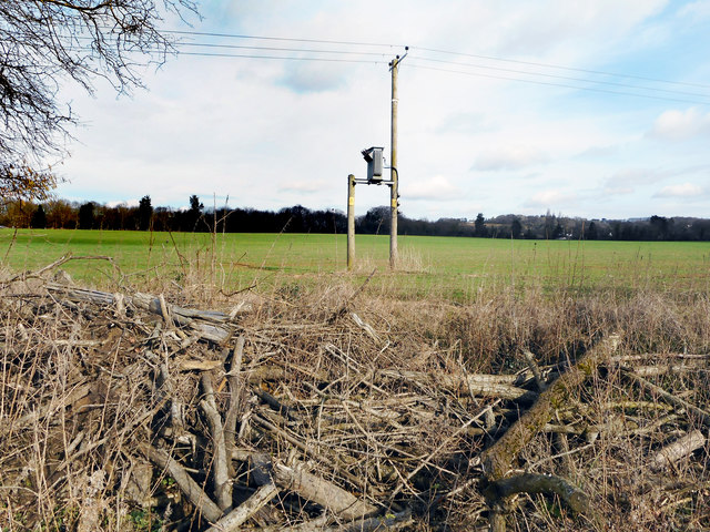
Image: © Des Blenkinsopp Taken: 20 Feb 2017
Shown on the map as a strip of woodland following the course of the Spade Oak Brook, the trees are now all cut down and have been left piled up beside the footpath in a bit of a mess. I guess it looks at its worst this time of year and will all grow back soon enough.
Images are licensed for reuse under creativecommons.org/licenses/by-sa/2.0
Image Location
Latitude
51.584704
Longitude
-0.73012