Wendover block, Aylesbury Estate, Walworth
Introduction
The photograph on this page of Wendover block, Aylesbury Estate, Walworth by Jim Osley as part of the Geograph project.
The Geograph project started in 2005 with the aim of publishing, organising and preserving representative images for every square kilometre of Great Britain, Ireland and the Isle of Man.

There are currently over 7.5m images from over 14,400 individuals and you can help contribute to the project by visiting https://www.geograph.org.uk
Wendover block, Aylesbury Estate, Walworth
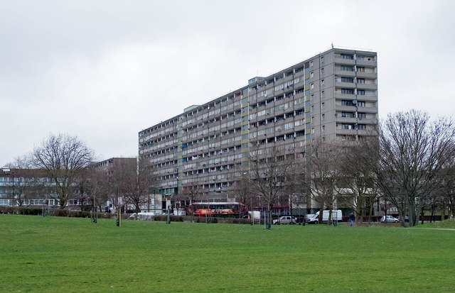
Image: © Jim Osley Taken: 22 Feb 2017
One of the blocks that make up the Aylesbury Estate at Walworth. For an account of this estate and the controversial attempts at regeneration see this https://municipaldreams.wordpress.com/2014/01/07/the-aylesbury-estate-southwark-where-all-that-is-left-of-the-high-hopes-of-the-post-war-planners-is-derelict-concrete/.
Images are licensed for reuse under creativecommons.org/licenses/by-sa/2.0
Image Location
Latitude
51.486177
Longitude
-0.08328