Boscombe: a pile of blocks blocks former footpath F03
Introduction
The photograph on this page of Boscombe: a pile of blocks blocks former footpath F03 by Chris Downer as part of the Geograph project.
The Geograph project started in 2005 with the aim of publishing, organising and preserving representative images for every square kilometre of Great Britain, Ireland and the Isle of Man.

There are currently over 7.5m images from over 14,400 individuals and you can help contribute to the project by visiting https://www.geograph.org.uk
Boscombe: a pile of blocks blocks former footpath F03
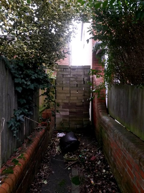
Image: © Chris Downer Taken: 14 Feb 2017
Looking through the sturdy gate which blocks what was once a short public footpath to Salisbury Road from here on Grosvenor Gardens. The footpath is marked on the 1980s definitive rights of way map, but has since been extinguished and is no longer a public right of way. If the gate was somehow breached, this pile of concrete blocks would surely thwart any further access. See Image for a view of the gate from behind us, and Image for the view towards us from the similar gate at the other end.
Images are licensed for reuse under creativecommons.org/licenses/by-sa/2.0
Image Location
Latitude
50.726526
Longitude
-1.843254