Southbourne: Carbery Lane reaches Stourwood Avenue
Introduction
The photograph on this page of Southbourne: Carbery Lane reaches Stourwood Avenue by Chris Downer as part of the Geograph project.
The Geograph project started in 2005 with the aim of publishing, organising and preserving representative images for every square kilometre of Great Britain, Ireland and the Isle of Man.

There are currently over 7.5m images from over 14,400 individuals and you can help contribute to the project by visiting https://www.geograph.org.uk
Southbourne: Carbery Lane reaches Stourwood Avenue
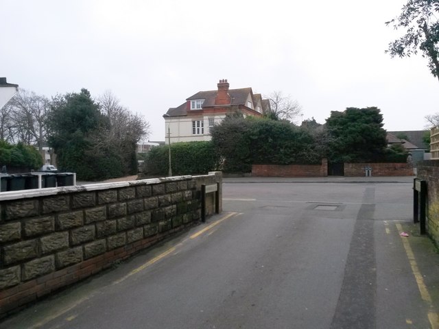
Image: © Chris Downer Taken: 11 Feb 2017
Carbery Lane is essentially a rear access driveway for the row of shops in Southbourne Road, and it also forms public footpath number H04 between Pine and Stourwood Avenues. The name Carbery refers to the fact that the row of shops is Carbery Row. Here, we emerge onto Stourwood Avenue at the southeastern end of the Lane. See Image for the view towards us from ahead, and Image for the next view on the Lane behind us, with links to further photos along the route.
Images are licensed for reuse under creativecommons.org/licenses/by-sa/2.0
Image Location
Latitude
50.725399
Longitude
-1.810956