The Public Footpath to Sandy Kirn
Introduction
The photograph on this page of The Public Footpath to Sandy Kirn by Sandy Gemmill as part of the Geograph project.
The Geograph project started in 2005 with the aim of publishing, organising and preserving representative images for every square kilometre of Great Britain, Ireland and the Isle of Man.

There are currently over 7.5m images from over 14,400 individuals and you can help contribute to the project by visiting https://www.geograph.org.uk
The Public Footpath to Sandy Kirn
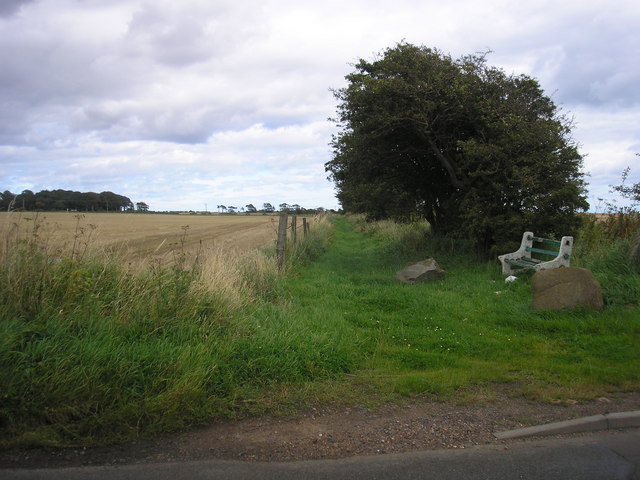
Image: © Sandy Gemmill Taken: 16 Aug 2007
The view of what would appear to be the start of the footpath to Sandy Kirn at the point where it leaves the St Monans to Abercrombie road.
Images are licensed for reuse under creativecommons.org/licenses/by-sa/2.0
Image Location
Latitude
56.209075
Longitude
-2.772161