Springbourne: footpath J01 and a driveway run parallel
Introduction
The photograph on this page of Springbourne: footpath J01 and a driveway run parallel by Chris Downer as part of the Geograph project.
The Geograph project started in 2005 with the aim of publishing, organising and preserving representative images for every square kilometre of Great Britain, Ireland and the Isle of Man.

There are currently over 7.5m images from over 14,400 individuals and you can help contribute to the project by visiting https://www.geograph.org.uk
Springbourne: footpath J01 and a driveway run parallel
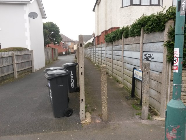
Image: © Chris Downer Taken: 14 Feb 2017
Looking along a public footpath from Windham Road towards Spring Road, the next parallel street. Meanwhile, alongside it runs a driveway to houses built as infill in what was originally the back garden of a Spring Road house. Many of the footpaths in Bournemouth have been given names in the last couple of years, a safety initiative whose intention is that, in the event of calling for help, one's location can be more easily described. This one has been named Spring Walk, no doubt because of its connection with Spring Road and the suburb of Springbourne. See Image for the next in a series of photos along the path.
Images are licensed for reuse under creativecommons.org/licenses/by-sa/2.0
Image Location
Latitude
50.730759
Longitude
-1.848624