Pit Head Close
Introduction
The photograph on this page of Pit Head Close by Jonathan Hutchins as part of the Geograph project.
The Geograph project started in 2005 with the aim of publishing, organising and preserving representative images for every square kilometre of Great Britain, Ireland and the Isle of Man.

There are currently over 7.5m images from over 14,400 individuals and you can help contribute to the project by visiting https://www.geograph.org.uk
Pit Head Close
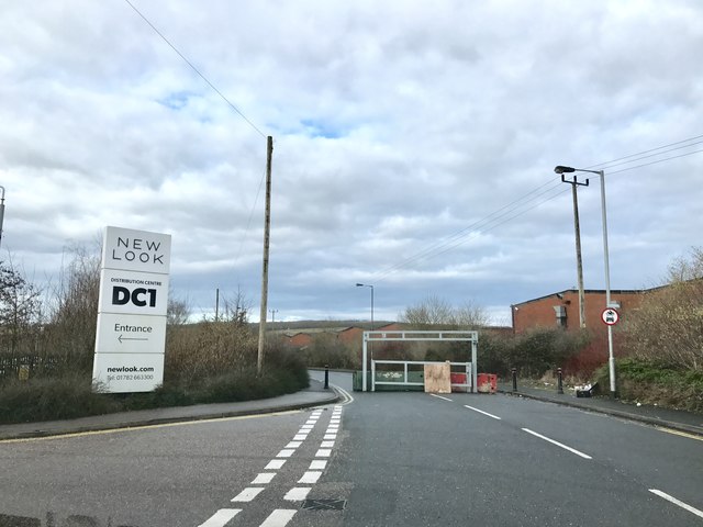
Image: © Jonathan Hutchins Taken: 16 Feb 2017
The road name recalls when this area was the site of Holditch Colliery, closed in 1990. Once an area of potteries and collieries, this part of Staffordshire has now a high concentration of distribution centres, one being indicated by the sign on the left.
Images are licensed for reuse under creativecommons.org/licenses/by-sa/2.0
Image Location
Latitude
53.032699
Longitude
-2.254203