Church Manorway, SE2
Introduction
The photograph on this page of Church Manorway, SE2 by Robin Webster as part of the Geograph project.
The Geograph project started in 2005 with the aim of publishing, organising and preserving representative images for every square kilometre of Great Britain, Ireland and the Isle of Man.

There are currently over 7.5m images from over 14,400 individuals and you can help contribute to the project by visiting https://www.geograph.org.uk
Church Manorway, SE2
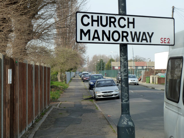
Image: © Robin Webster Taken: 14 Mar 2012
Any road name including 'Manorway' or 'Manor Way' encountered not far from the tidal Thames, Kent or Essex sides, is very likely to be a specific type of road. They are roads taking a fairly direct course down from higher ground to what are, or used to be, grazing marshes bordering the river.
Images are licensed for reuse under creativecommons.org/licenses/by-sa/2.0
Image Location
Latitude
51.491716
Longitude
0.102495