Catkins by the Path
Introduction
The photograph on this page of Catkins by the Path by Des Blenkinsopp as part of the Geograph project.
The Geograph project started in 2005 with the aim of publishing, organising and preserving representative images for every square kilometre of Great Britain, Ireland and the Isle of Man.

There are currently over 7.5m images from over 14,400 individuals and you can help contribute to the project by visiting https://www.geograph.org.uk
Catkins by the Path
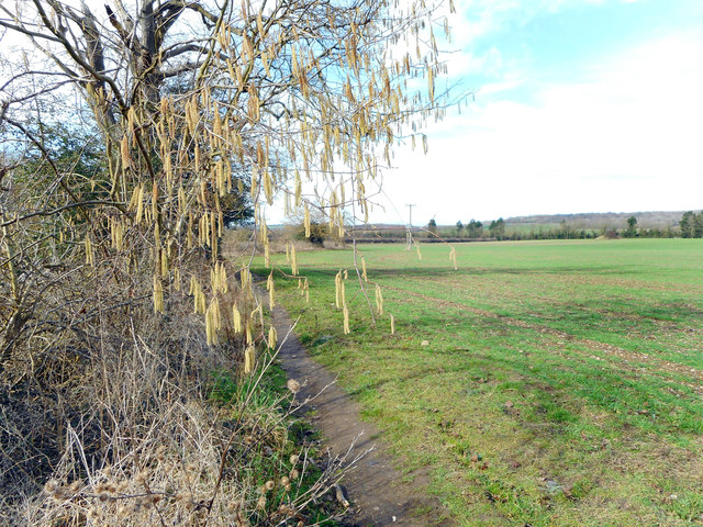
Image: © Des Blenkinsopp Taken: 20 Feb 2017
The top end of a short walk around Spade Oak Lake, an old gravel pit now a nature reserve.
Images are licensed for reuse under creativecommons.org/licenses/by-sa/2.0
Image Location
Latitude
51.583518
Longitude
-0.728565