Stoke Road
Introduction
The photograph on this page of Stoke Road by Peter Mackenzie as part of the Geograph project.
The Geograph project started in 2005 with the aim of publishing, organising and preserving representative images for every square kilometre of Great Britain, Ireland and the Isle of Man.

There are currently over 7.5m images from over 14,400 individuals and you can help contribute to the project by visiting https://www.geograph.org.uk
Stoke Road
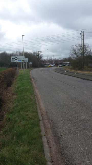
Image: © Peter Mackenzie Taken: 21 Feb 2017
Stoke Road is shown here on its approach to the busy A47 on the northern edge of Hinckley.
Images are licensed for reuse under creativecommons.org/licenses/by-sa/2.0
Image Location


Leaflet Map data © OpenStreetMap
Latitude
52.555381
Longitude
-1.384612