The Crooked Billet at Sheepridge
Introduction
The photograph on this page of The Crooked Billet at Sheepridge by Des Blenkinsopp as part of the Geograph project.
The Geograph project started in 2005 with the aim of publishing, organising and preserving representative images for every square kilometre of Great Britain, Ireland and the Isle of Man.

There are currently over 7.5m images from over 14,400 individuals and you can help contribute to the project by visiting https://www.geograph.org.uk
The Crooked Billet at Sheepridge
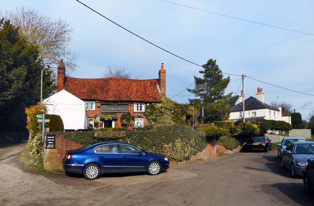
Image: © Des Blenkinsopp Taken: 20 Feb 2017
"Originally built in the 16th century as two cottages, then changed in 1850 to a simple Cider house." From the pub website http://www.thecrookedbillet.com There doesn't seem to be a car park as such, so parking is a bit random.
Images are licensed for reuse under creativecommons.org/licenses/by-sa/2.0
Image Location
Latitude
51.597688
Longitude
-0.725137