Southbourne: Ferry Road from its western end
Introduction
The photograph on this page of Southbourne: Ferry Road from its western end by Chris Downer as part of the Geograph project.
The Geograph project started in 2005 with the aim of publishing, organising and preserving representative images for every square kilometre of Great Britain, Ireland and the Isle of Man.

There are currently over 7.5m images from over 14,400 individuals and you can help contribute to the project by visiting https://www.geograph.org.uk
Southbourne: Ferry Road from its western end
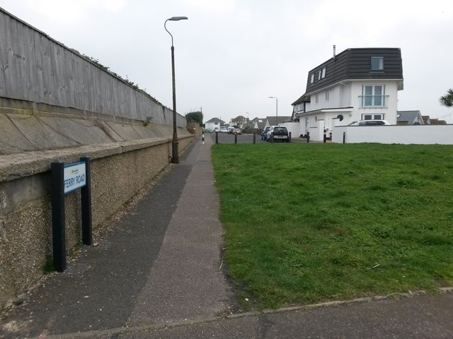
Image: © Chris Downer Taken: 11 Feb 2017
This road appears to be like any other hereabouts, but it is designated as a public right of way - Byway Open to All Traffic (or B.O.A.T.) number I08. Large-scale mapping appears to specifically mark the route as the southern pavement, although because of the angle of the junction ahead, it is this northern pavement that extends the farther. We are at the roadside of Warren Edge Road, just where it comes out on Southbourne Coast Road on our right. See Image for the next view on the road ahead, with links to further photos along the route.
Images are licensed for reuse under creativecommons.org/licenses/by-sa/2.0
Image Location
Latitude
50.719788
Longitude
-1.790297