Southbourne: Admiralty Road used to continue ahead
Introduction
The photograph on this page of Southbourne: Admiralty Road used to continue ahead by Chris Downer as part of the Geograph project.
The Geograph project started in 2005 with the aim of publishing, organising and preserving representative images for every square kilometre of Great Britain, Ireland and the Isle of Man.

There are currently over 7.5m images from over 14,400 individuals and you can help contribute to the project by visiting https://www.geograph.org.uk
Southbourne: Admiralty Road used to continue ahead
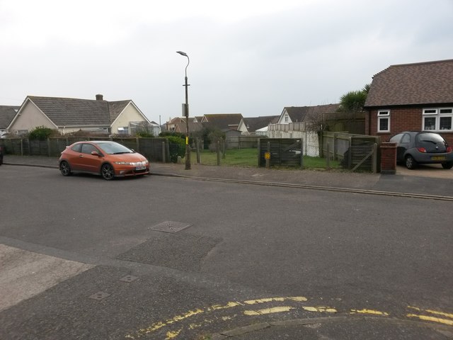
Image: © Chris Downer Taken: 11 Feb 2017
Admiralty Road is a public right of way, number I07, designated as a Byway Open to All Traffic (or B.O.A.T.). This previously applied to the whole length of the road, but the road has been truncated now, just here, and the designation of the right of way truncated to a point some way behind us, according to recent mapping. Looking across Ferry Road, we can see a 'road-shaped' wedge of land, heading acutely to the left, with the obvious fence along the right-hand edge and a wire fence doing similar on the left-hand side, just to the right of the lamppost. It is not clear exactly to which properties the land now belongs, if any. See Image for the next view on the road behind, with links to further photos heading back to the part still designated a byway. See Image for a view from the next available part of the defunct course of the road ahead, with links to further photos in that direction. Meanwhile, Ferry Road is also a B.O.A.T. - see Image for the next view along that route.
Images are licensed for reuse under creativecommons.org/licenses/by-sa/2.0
Image Location
Latitude
50.719876
Longitude
-1.789446