Footpath to St Paul's
Introduction
The photograph on this page of Footpath to St Paul's by Gerald England as part of the Geograph project.
The Geograph project started in 2005 with the aim of publishing, organising and preserving representative images for every square kilometre of Great Britain, Ireland and the Isle of Man.

There are currently over 7.5m images from over 14,400 individuals and you can help contribute to the project by visiting https://www.geograph.org.uk
Footpath to St Paul's
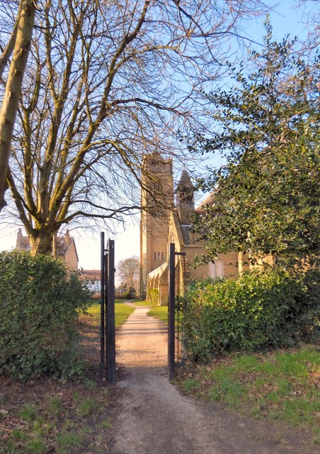
Image: © Gerald England Taken: 13 Feb 2017
A footpath leads from the Bridgewater Way alongside the canal into the churchyard of St Paul's Parish Church.
Images are licensed for reuse under creativecommons.org/licenses/by-sa/2.0
Image Location
Latitude
53.422471
Longitude
-2.322433