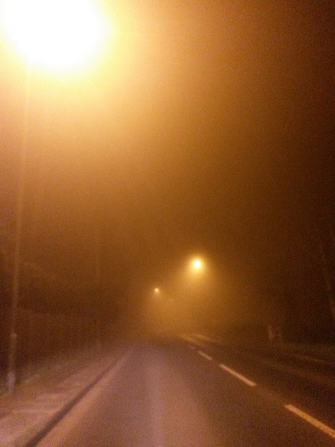
Shaftesbury: dense fog on the A350
Introduction
The photograph on this page of Shaftesbury: dense fog on the A350 by Chris Downer as part of the Geograph project.
The Geograph project started in 2005 with the aim of publishing, organising and preserving representative images for every square kilometre of Great Britain, Ireland and the Isle of Man.
There are currently over 7.5m images from over 14,400 individuals and you can help contribute to the project by visiting https://www.geograph.org.uk

Image: © Chris Downer Taken: 20 Feb 2017
It is 1:50 on a Monday morning and my southbound trip on the A350 between Warminster and Blandford Forum is marked by thick fog. Here, the street lighting as we enter the suburbs of Shaftesbury, at least provide reasonable visibility but I have been slowed to 25mph for longish stretches in the rural unlit parts, despite knowing the roads well and traffic being almost non-existent at this time of the day. Being able to see only three white lines ahead, it is quite disconcerting to realise that, on a road that you think you know in great detail right down to slight bends and awkward potholes, you don't actually know which way the next bend is going to turn.

