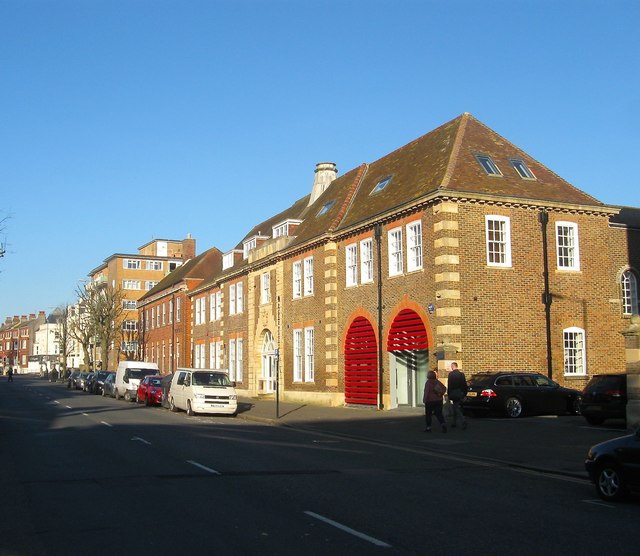
Audley House/Regent House/Vallance House, Hove Street, Hove
Introduction
The photograph on this page of Audley House/Regent House/Vallance House, Hove Street, Hove by Simon Carey as part of the Geograph project.
The Geograph project started in 2005 with the aim of publishing, organising and preserving representative images for every square kilometre of Great Britain, Ireland and the Isle of Man.
There are currently over 7.5m images from over 14,400 individuals and you can help contribute to the project by visiting https://www.geograph.org.uk

Image: © Simon Carey Taken: 18 Feb 2017
Three buildings located between Image to the south and Vallance Road to the north that were built around 1926. Audley House to the left was a purpose built fire station that replaced former premises in George Street and remained in operation until 1976 when it moved to its current site in English Close, see http://regencysociety-jamesgray.com/volume12/source/jg_12_177.html for a view of the station in 1928. The building was converted into flats in 1981. Regent House in the middle was originally an electricity sub-station and is now combined offices and flats. Vallance House at the northern end to the left was originally a sorting office for the Royal Mail but has been converted into offices occupied by a solicitors practice since 2006. Previously the site had been part of a farm, see http://regencysociety-jamesgray.com/volume12/source/jg_12_157.html for a view from the north taken in 1914.

