Boarded-up house on the A28 at Armagh
Introduction
The photograph on this page of Boarded-up house on the A28 at Armagh by Eric Jones as part of the Geograph project.
The Geograph project started in 2005 with the aim of publishing, organising and preserving representative images for every square kilometre of Great Britain, Ireland and the Isle of Man.

There are currently over 7.5m images from over 14,400 individuals and you can help contribute to the project by visiting https://www.geograph.org.uk
Boarded-up house on the A28 at Armagh
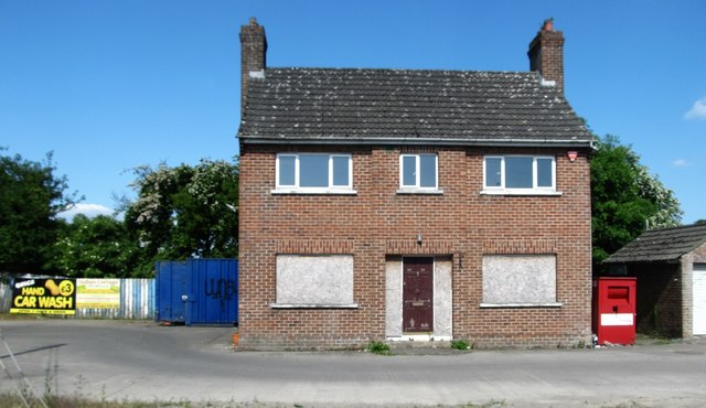
Image: © Eric Jones Taken: 3 Jun 2016
This is a part of a development site which also includes what appears to be a former service station.
Images are licensed for reuse under creativecommons.org/licenses/by-sa/2.0
Image Location
Latitude
54.338218
Longitude
-6.639962