Wavendon, Wavendon Arms
Introduction
The photograph on this page of Wavendon, Wavendon Arms by Mike Faherty as part of the Geograph project.
The Geograph project started in 2005 with the aim of publishing, organising and preserving representative images for every square kilometre of Great Britain, Ireland and the Isle of Man.

There are currently over 7.5m images from over 14,400 individuals and you can help contribute to the project by visiting https://www.geograph.org.uk
Wavendon, Wavendon Arms
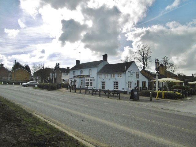
Image: © Mike Faherty Taken: 17 Feb 2017
Public house on Newport Road (A5130). Modernised, with use of local stone, but retaining some wooden beams. Back bar, with eating and drinking areas front and right; background music, wood-burning stove, garden. Cask ales on offer at my visit: Black Sheep Bitter, Sharp's Doom Bar.
Images are licensed for reuse under creativecommons.org/licenses/by-sa/2.0
Image Location
Latitude
52.027037
Longitude
-0.668655