Burners Lane South
Introduction
The photograph on this page of Burners Lane South by DS Pugh as part of the Geograph project.
The Geograph project started in 2005 with the aim of publishing, organising and preserving representative images for every square kilometre of Great Britain, Ireland and the Isle of Man.

There are currently over 7.5m images from over 14,400 individuals and you can help contribute to the project by visiting https://www.geograph.org.uk
Burners Lane South
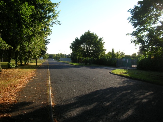
Image: © DS Pugh Taken: 8 Aug 2007
Situated in Kiln Farm, an industrial estate area of Milton Keynes. At the end of the road turning right brings you to the cul-de-sac of Potters Lane.
Images are licensed for reuse under creativecommons.org/licenses/by-sa/2.0
Image Location
Latitude
52.047285
Longitude
-0.822335