18th century stone houses in Podington
Introduction
The photograph on this page of 18th century stone houses in Podington by David Hawgood as part of the Geograph project.
The Geograph project started in 2005 with the aim of publishing, organising and preserving representative images for every square kilometre of Great Britain, Ireland and the Isle of Man.

There are currently over 7.5m images from over 14,400 individuals and you can help contribute to the project by visiting https://www.geograph.org.uk
18th century stone houses in Podington
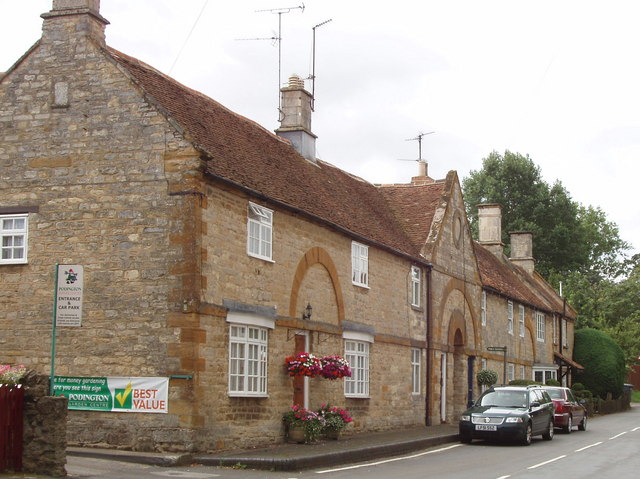
Image: © David Hawgood Taken: 16 Aug 2007
The entry to Podington garden centre is on the left. A public footpath goes into the archway under the gable - a very grand entrance to the path.
Images are licensed for reuse under creativecommons.org/licenses/by-sa/2.0
Image Location
Latitude
52.253705
Longitude
-0.621885