Path between golf course and road
Introduction
The photograph on this page of Path between golf course and road by DS Pugh as part of the Geograph project.
The Geograph project started in 2005 with the aim of publishing, organising and preserving representative images for every square kilometre of Great Britain, Ireland and the Isle of Man.

There are currently over 7.5m images from over 14,400 individuals and you can help contribute to the project by visiting https://www.geograph.org.uk
Path between golf course and road
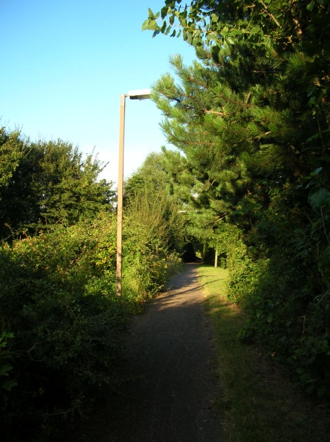
Image: © DS Pugh Taken: 8 Aug 2007
This path in Two Mile Ash runs alongside the golf course (left) with a main road down on the right. Ahead a bridge takes golfers and pedestrians across the road to the other half of the golf course and to paths leading to Kiln Farm.
Images are licensed for reuse under creativecommons.org/licenses/by-sa/2.0
Image Location
Latitude
52.044733
Longitude
-0.810008