Path under construction, Oakdale
Introduction
The photograph on this page of Path under construction, Oakdale by M J Roscoe as part of the Geograph project.
The Geograph project started in 2005 with the aim of publishing, organising and preserving representative images for every square kilometre of Great Britain, Ireland and the Isle of Man.

There are currently over 7.5m images from over 14,400 individuals and you can help contribute to the project by visiting https://www.geograph.org.uk
Path under construction, Oakdale
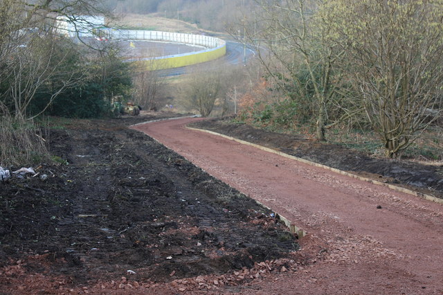
Image: © M J Roscoe Taken: 18 Feb 2017
A 3 m wide footpath under construction alongside Pen-rhiw Bengi Lane. The path will run from off the lane down to Waterloo to provide a safe pedestrian route from Oakdale village to the new Islwyn High School. Part of the grounds of the school can be seen behind the yellow fence.
Images are licensed for reuse under creativecommons.org/licenses/by-sa/2.0
Image Location
Latitude
51.683152
Longitude
-3.175477