Dorothy Brownlow House, Castlegate
Introduction
The photograph on this page of Dorothy Brownlow House, Castlegate by Alan Murray-Rust as part of the Geograph project.
The Geograph project started in 2005 with the aim of publishing, organising and preserving representative images for every square kilometre of Great Britain, Ireland and the Isle of Man.

There are currently over 7.5m images from over 14,400 individuals and you can help contribute to the project by visiting https://www.geograph.org.uk
Dorothy Brownlow House, Castlegate
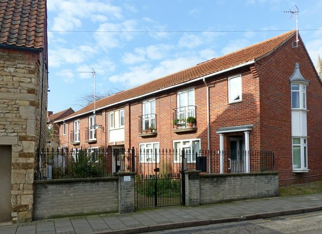
Image: © Alan Murray-Rust Taken: 15 Feb 2017
A block of 8 almshouses built in 1968 to replace almshouses in High Street.
Images are licensed for reuse under creativecommons.org/licenses/by-sa/2.0
Image Location
Latitude
52.913553
Longitude
-0.640742