Sunken Lane
Introduction
The photograph on this page of Sunken Lane by Alan Hughes as part of the Geograph project.
The Geograph project started in 2005 with the aim of publishing, organising and preserving representative images for every square kilometre of Great Britain, Ireland and the Isle of Man.

There are currently over 7.5m images from over 14,400 individuals and you can help contribute to the project by visiting https://www.geograph.org.uk
Sunken Lane
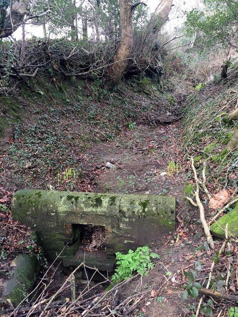
Image: © Alan Hughes Taken: 18 Feb 2017
Old sunken lane and culvert at Heol Laethog. This track is marked on the OS map and is clearly visible at both ends, although overgrown and impassable now. Heol Laethog now winds up the slope more gently to the right of the farmhouse.
Images are licensed for reuse under creativecommons.org/licenses/by-sa/2.0
Image Location
Latitude
51.552184
Longitude
-3.544225