Benchmark on old school house, Rachub
Introduction
The photograph on this page of Benchmark on old school house, Rachub by Meirion as part of the Geograph project.
The Geograph project started in 2005 with the aim of publishing, organising and preserving representative images for every square kilometre of Great Britain, Ireland and the Isle of Man.

There are currently over 7.5m images from over 14,400 individuals and you can help contribute to the project by visiting https://www.geograph.org.uk
Benchmark on old school house, Rachub
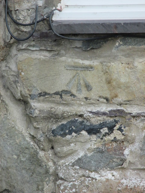
Image: © Meirion Taken: 17 Feb 2017
This benchmark is located on the west face of the old school house in Rachub. For more details see: http://www.bench-marks.org.uk/bm82275
Images are licensed for reuse under creativecommons.org/licenses/by-sa/2.0
Image Location
Latitude
53.191291
Longitude
-4.062934