Oldland Village Club
Introduction
The photograph on this page of Oldland Village Club by Neil Owen as part of the Geograph project.
The Geograph project started in 2005 with the aim of publishing, organising and preserving representative images for every square kilometre of Great Britain, Ireland and the Isle of Man.

There are currently over 7.5m images from over 14,400 individuals and you can help contribute to the project by visiting https://www.geograph.org.uk
Oldland Village Club
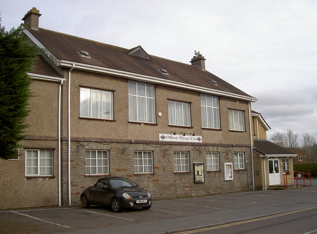
Image: © Neil Owen Taken: 16 Feb 2017
The Oldland Common Village Hall, built in 1913 along with the church hall nearby. It was erected in response to the rapidly growing population in the late nineteenth and early twentieth centuries, largely due to coal mining and brass working.
Images are licensed for reuse under creativecommons.org/licenses/by-sa/2.0
Image Location


Leaflet Map data © OpenStreetMap
Latitude
51.44109
Longitude
-2.472298