Unity Oldland Methodist Church
Introduction
The photograph on this page of Unity Oldland Methodist Church by Neil Owen as part of the Geograph project.
The Geograph project started in 2005 with the aim of publishing, organising and preserving representative images for every square kilometre of Great Britain, Ireland and the Isle of Man.

There are currently over 7.5m images from over 14,400 individuals and you can help contribute to the project by visiting https://www.geograph.org.uk
Unity Oldland Methodist Church
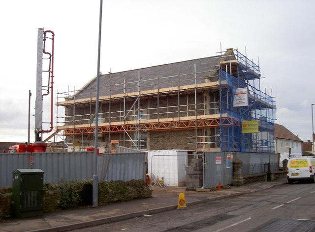
Image: © Neil Owen Taken: 16 Feb 2017
The old schoolroom, kitchen and vestry have been demolished, and major work on the body of the church is well underway; the ground is being prepared for an extension.
Images are licensed for reuse under creativecommons.org/licenses/by-sa/2.0
Image Location


Leaflet Map data © OpenStreetMap
Latitude
51.441717
Longitude
-2.47288