St Anne's school
Introduction
The photograph on this page of St Anne's school by Neil Owen as part of the Geograph project.
The Geograph project started in 2005 with the aim of publishing, organising and preserving representative images for every square kilometre of Great Britain, Ireland and the Isle of Man.

There are currently over 7.5m images from over 14,400 individuals and you can help contribute to the project by visiting https://www.geograph.org.uk
St Anne's school
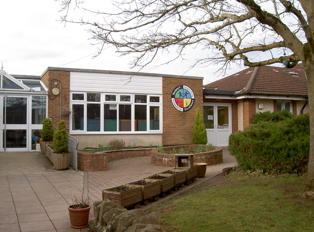
Image: © Neil Owen Taken: 16 Feb 2017
St Anne's C of E Primary school - founded in 1837 as a National Board school on the site just down the hill. A much-needed expansion provided these modern schoolrooms in 2004.
Images are licensed for reuse under creativecommons.org/licenses/by-sa/2.0
Image Location


Leaflet Map data © OpenStreetMap
Latitude
51.438479
Longitude
-2.473278