Lea Brook Lane
Introduction
The photograph on this page of Lea Brook Lane by Jonathan Clitheroe as part of the Geograph project.
The Geograph project started in 2005 with the aim of publishing, organising and preserving representative images for every square kilometre of Great Britain, Ireland and the Isle of Man.

There are currently over 7.5m images from over 14,400 individuals and you can help contribute to the project by visiting https://www.geograph.org.uk
Lea Brook Lane
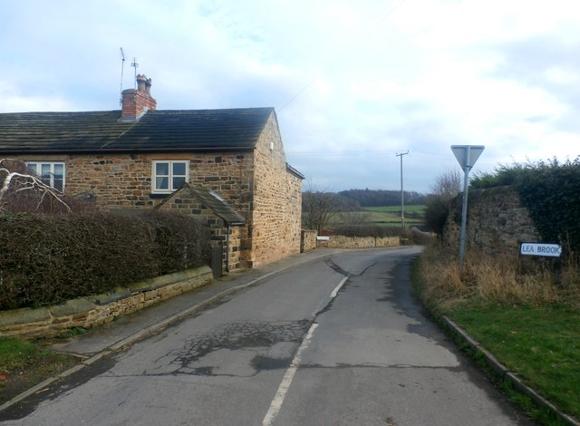
Image: © Jonathan Clitheroe Taken: 17 Feb 2017
Pictured from the junction with Coley Lane. The Hoober Stand can be seen rising above the woodland on the horizon.
Images are licensed for reuse under creativecommons.org/licenses/by-sa/2.0
Image Location
Latitude
53.487715
Longitude
-1.395771