Cemetery Road, Maesteg
Introduction
The photograph on this page of Cemetery Road, Maesteg by Jaggery as part of the Geograph project.
The Geograph project started in 2005 with the aim of publishing, organising and preserving representative images for every square kilometre of Great Britain, Ireland and the Isle of Man.

There are currently over 7.5m images from over 14,400 individuals and you can help contribute to the project by visiting https://www.geograph.org.uk
Cemetery Road, Maesteg
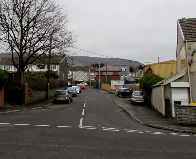
Image: © Jaggery Taken: 17 Feb 2017
Viewed across Bridgend Road. This way to Maesteg Cemetery, about 500 metres ahead.
Images are licensed for reuse under creativecommons.org/licenses/by-sa/2.0
Image Location
Latitude
51.605942
Longitude
-3.644536