
Farm track skirting Tindall Wood
Introduction
The photograph on this page of Farm track skirting Tindall Wood by Evelyn Simak as part of the Geograph project.
The Geograph project started in 2005 with the aim of publishing, organising and preserving representative images for every square kilometre of Great Britain, Ireland and the Isle of Man.

There are currently over 7.5m images from over 14,400 individuals and you can help contribute to the project by visiting https://www.geograph.org.uk
Farm track skirting Tindall Wood
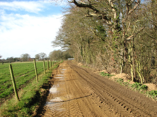
Image: © Evelyn Simak Taken: 16 Feb 2017
Tindall Wood is a site of special scientific interest (SSSI) and one of the largest hornbeam woods in the county. It is an ancient woodland situated on poorly drained south Norfolk boulder clay which is overlain in places by sandy loam. Surrounded by a massive woodbank and ditch, the wood mainly supports hornbeam and oak but ash, maple and hazel can also be found. Several uncommon species which are found in the ground flora indicate that the wood may be primary. The wood is not open to the public.
Images are licensed for reuse under creativecommons.org/licenses/by-sa/2.0
Image Location

Latitude
52.486341
Longitude
1.425741