Farmland near Houghton Strother
Introduction
The photograph on this page of Farmland near Houghton Strother by Mike Quinn as part of the Geograph project.
The Geograph project started in 2005 with the aim of publishing, organising and preserving representative images for every square kilometre of Great Britain, Ireland and the Isle of Man.

There are currently over 7.5m images from over 14,400 individuals and you can help contribute to the project by visiting https://www.geograph.org.uk
Farmland near Houghton Strother
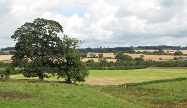
Image: © Mike Quinn Taken: 15 Aug 2007
Burnmouth Cottages on the other side of the River North Tyne in Image can be seen in the middle distance on the right hand edge of the image.
Images are licensed for reuse under creativecommons.org/licenses/by-sa/2.0
Image Location
Latitude
55.059203
Longitude
-2.162785