The confluence of the River Tweed and the River Till
Introduction
The photograph on this page of The confluence of the River Tweed and the River Till by Russel Wills as part of the Geograph project.
The Geograph project started in 2005 with the aim of publishing, organising and preserving representative images for every square kilometre of Great Britain, Ireland and the Isle of Man.

There are currently over 7.5m images from over 14,400 individuals and you can help contribute to the project by visiting https://www.geograph.org.uk
The confluence of the River Tweed and the River Till
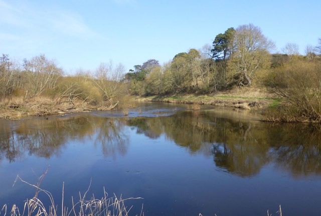
Image: © Russel Wills Taken: 15 Feb 2017
The Till enters from the right, the Tweed from the left and they flow north towards Berwick-upon-Tweed.
Images are licensed for reuse under creativecommons.org/licenses/by-sa/2.0
Image Location
Latitude
55.68004
Longitude
-2.208612