Arable and woodland, 2
Introduction
The photograph on this page of Arable and woodland, 2 by Jonathan Billinger as part of the Geograph project.
The Geograph project started in 2005 with the aim of publishing, organising and preserving representative images for every square kilometre of Great Britain, Ireland and the Isle of Man.

There are currently over 7.5m images from over 14,400 individuals and you can help contribute to the project by visiting https://www.geograph.org.uk
Arable and woodland, 2
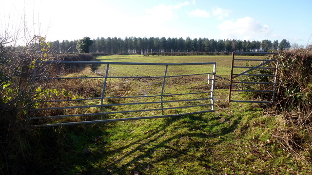
Image: © Jonathan Billinger Taken: 7 Feb 2017
View of 180 degree view to camera position in Image showing a cereal crop and coniferous Church Wood.
Images are licensed for reuse under creativecommons.org/licenses/by-sa/2.0
Image Location
Latitude
52.455247
Longitude
-1.624407