Wagtail Lane entering Craghead
Introduction
The photograph on this page of Wagtail Lane entering Craghead by Trevor Littlewood as part of the Geograph project.
The Geograph project started in 2005 with the aim of publishing, organising and preserving representative images for every square kilometre of Great Britain, Ireland and the Isle of Man.

There are currently over 7.5m images from over 14,400 individuals and you can help contribute to the project by visiting https://www.geograph.org.uk
Wagtail Lane entering Craghead
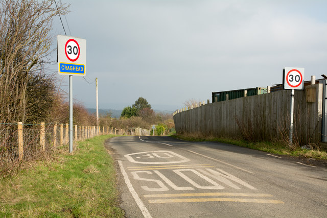
Image: © Trevor Littlewood Taken: 15 Feb 2017
The first terraced houses of Craghead are just around the bend in the road, hence the multiple warnings of speed limit and the need to reduce speed. The sign naming Craghead is in the typical County Durham style of yellow lettering on blue background.
Images are licensed for reuse under creativecommons.org/licenses/by-sa/2.0
Image Location
Latitude
54.849232
Longitude
-1.676032