Newcastle-under-Lyme: Cornwall House, Sandy Lane - signs
Introduction
The photograph on this page of Newcastle-under-Lyme: Cornwall House, Sandy Lane - signs by Jonathan Hutchins as part of the Geograph project.
The Geograph project started in 2005 with the aim of publishing, organising and preserving representative images for every square kilometre of Great Britain, Ireland and the Isle of Man.

There are currently over 7.5m images from over 14,400 individuals and you can help contribute to the project by visiting https://www.geograph.org.uk
Newcastle-under-Lyme: Cornwall House, Sandy Lane - signs
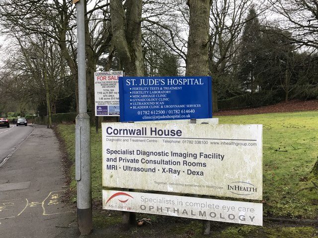
Image: © Jonathan Hutchins Taken: 11 Feb 2017
Cornwall House, a medical and screening centre, is up for sale. The blue sign refers to a fertility clinic just down the road.
Images are licensed for reuse under creativecommons.org/licenses/by-sa/2.0
Image Location
Latitude
53.018237
Longitude
-2.217373