
Access Road by Birmingham Wildlife Conservation Park
Introduction
The photograph on this page of Access Road by Birmingham Wildlife Conservation Park by Paul Collins as part of the Geograph project.
The Geograph project started in 2005 with the aim of publishing, organising and preserving representative images for every square kilometre of Great Britain, Ireland and the Isle of Man.

There are currently over 7.5m images from over 14,400 individuals and you can help contribute to the project by visiting https://www.geograph.org.uk
Access Road by Birmingham Wildlife Conservation Park
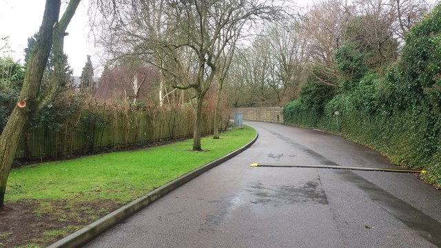
Image: © Paul Collins Taken: 29 Jan 2017
This is an unnamed road (I have heard it referred to informally as Zoo Drive) running along the south edge of Birmingham Wildlife Conservation Park (formerly Birmingham Nature Centre and before that, Birmingham Zoo). It links Pershore Road with Cannon Hill Park and is only used during events and other special occasions. The road must have been built around the time that the zoo was built and alterations made to the course of the River Rea to alleviate flooding. The zoo (behind the fence on the right) opened in 1964 and was converted to a 'nature centre' in 1970 or 1973. When it was a zoo it had large animals including two tigers and camels (at least one camel was born here).
Images are licensed for reuse under creativecommons.org/licenses/by-sa/2.0
Image Location

Latitude
52.448077
Longitude
-1.910645