Queensbury FP86
Introduction
The photograph on this page of Queensbury FP86 by Humphrey Bolton as part of the Geograph project.
The Geograph project started in 2005 with the aim of publishing, organising and preserving representative images for every square kilometre of Great Britain, Ireland and the Isle of Man.

There are currently over 7.5m images from over 14,400 individuals and you can help contribute to the project by visiting https://www.geograph.org.uk
Queensbury FP86
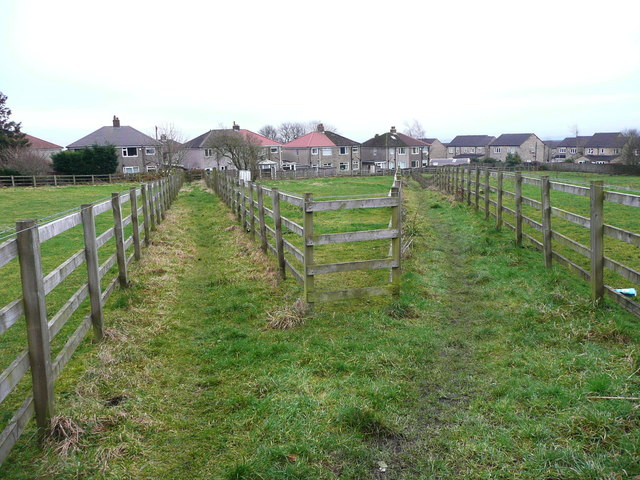
Image: © Humphrey Bolton Taken: 6 Feb 2017
This path has two branches, which seems to have originated as short cuts across what was quarry land. Presumably the paths were successfully claimed as public footpaths, and perhaps the council want to let the land for grazing, but the expensive fencing seems a bit 'over the top'.
Images are licensed for reuse under creativecommons.org/licenses/by-sa/2.0
Image Location
Latitude
53.764369
Longitude
-1.851452