Playing Field, Fittleworth
Introduction
The photograph on this page of Playing Field, Fittleworth by Simon Carey as part of the Geograph project.
The Geograph project started in 2005 with the aim of publishing, organising and preserving representative images for every square kilometre of Great Britain, Ireland and the Isle of Man.

There are currently over 7.5m images from over 14,400 individuals and you can help contribute to the project by visiting https://www.geograph.org.uk
Playing Field, Fittleworth
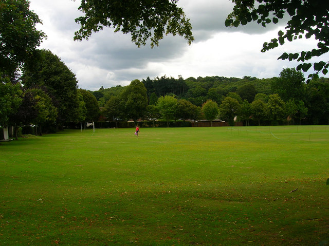
Image: © Simon Carey Taken: 17 Aug 2007
Located on the corner of Upper Street (A283) and School Lane north of the school. The backdrop is the woods of Fittleworth Common.
Images are licensed for reuse under creativecommons.org/licenses/by-sa/2.0
Image Location


Leaflet Map data © OpenStreetMap
Latitude
50.963155
Longitude
-0.559451