West Common North Drain and Sands Lane Farm
Introduction
The photograph on this page of West Common North Drain and Sands Lane Farm by Jonathan Thacker as part of the Geograph project.
The Geograph project started in 2005 with the aim of publishing, organising and preserving representative images for every square kilometre of Great Britain, Ireland and the Isle of Man.

There are currently over 7.5m images from over 14,400 individuals and you can help contribute to the project by visiting https://www.geograph.org.uk
West Common North Drain and Sands Lane Farm
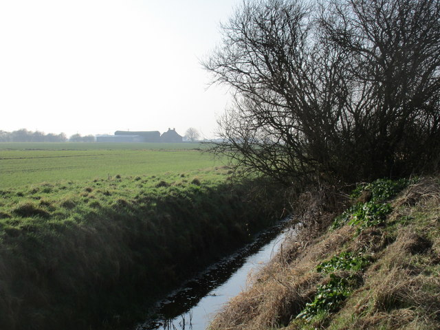
Image: © Jonathan Thacker Taken: 14 Feb 2017
This area is a well drained area of wind blown sand.
Images are licensed for reuse under creativecommons.org/licenses/by-sa/2.0
Image Location


Leaflet Map data © OpenStreetMap
Latitude
53.53469
Longitude
-0.701806