Formerly 'The Castle' public house
Introduction
The photograph on this page of Formerly 'The Castle' public house by Adrian S Pye as part of the Geograph project.
The Geograph project started in 2005 with the aim of publishing, organising and preserving representative images for every square kilometre of Great Britain, Ireland and the Isle of Man.

There are currently over 7.5m images from over 14,400 individuals and you can help contribute to the project by visiting https://www.geograph.org.uk
Formerly 'The Castle' public house
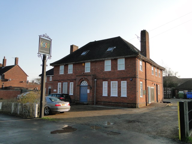
Image: © Adrian S Pye Taken: 14 Feb 2017
'The Castle' was built after the Second World War for the benefit of the residents of Rigbourne Hill and the other surrounding post war housing estates. It would appear to have recently been divided into flats.
Images are licensed for reuse under creativecommons.org/licenses/by-sa/2.0
Image Location
Latitude
52.448237
Longitude
1.574667